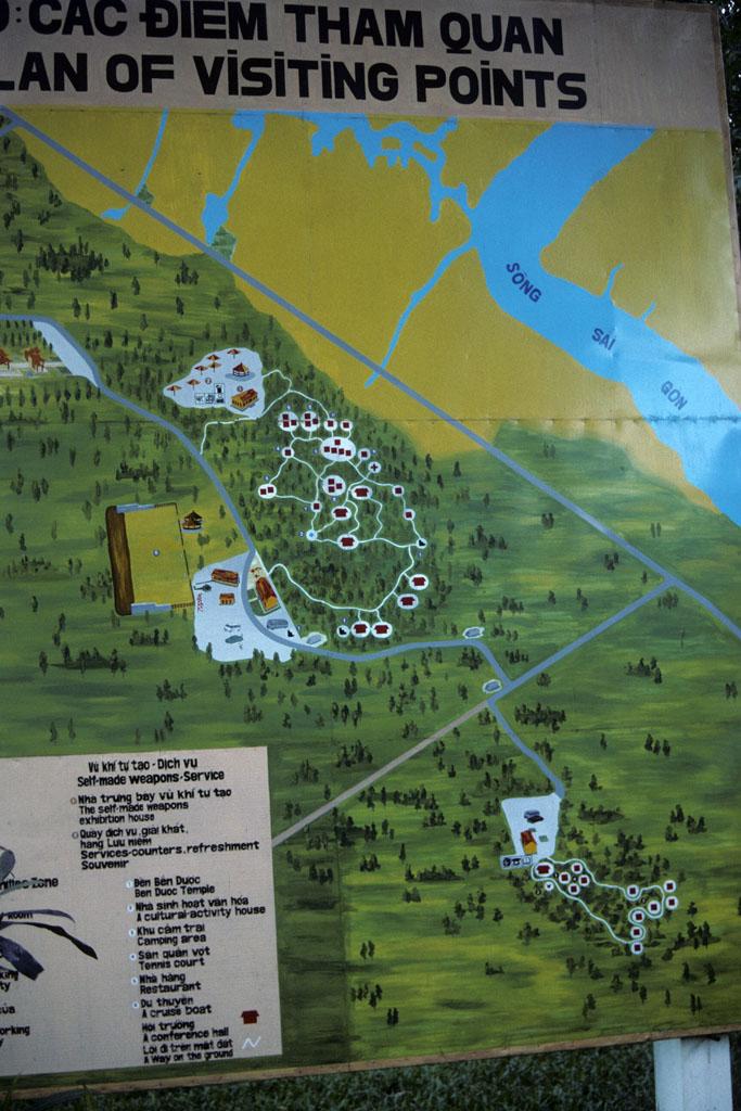
Colored wall map of tunnels at Cu Chi used by Vietcong during Vietnam War
A colored wall map depicts the underground tunnels at Cu Chi used by Communist fighters, or Vietcong, during the Vietnam War. During the 1960s, Communist guerillas dug these narrow tunnels that ran for about seventy-five miles from the countryside in Cu Chi west of Saigon all the way to the Cambodian border. When the U.S. forces could not control the tunnel areas effectively with ground troops, they dropped B-52 bombs on the area, seriously damaging the tunnel network and nearby land.
At two sites in Cu Chi, about 45 miles northwest of Ho Chi Minh City, the tunnels have been restored and are open for visitors. Tourists can enter some of the tunnels and examine supply storage areas as well as false entrances created to trick enemies. The tunnel sites and monuments are part of Vietnam's recent efforts to develop "war tourism" for foreigners interested in Vietnam War history.

Creative Commons BY-NC-SA
This item has a Creative Commons license for re-use. This Creative Commons BY-NC-SA license means that you may use, remix, tweak, and build upon the work for non-commerical purposes as long as you credit the original creator and as long as you license your new creation using the same license. For more information about Creative Commons licensing and a link to the license, see full details at https://creativecommons.org/licenses/by-nc-sa/4.0/.